ATLAS
Allied's
3D School Atlas
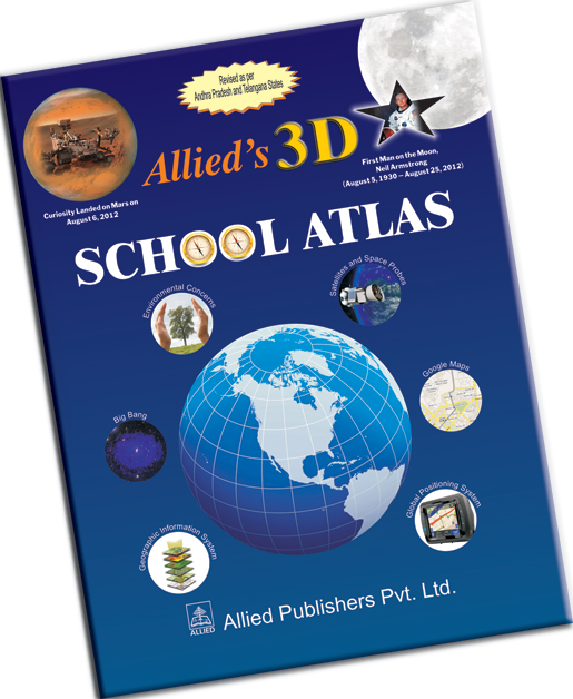
Allied's 3D School Atlas provides a comprehensive introduction to the country and the world with the help of precise and accurate, easy to read maps. It does not only cover all usual information required and given in other atlases, but also includes many other useful features.
HIGHLIGHTS
| • |
The most current Atlas with the permission of the Surveyor General of India, 2015. |
| • |
Thoroughly revised maps as per Andhra Pradesh divided into two states, Andhra Pradesh and Telangana. |
| • |
All Physical Maps in 3D as the colours of the contours show depth. |
| • |
Physical and Political Maps of all places are displayed on facing pages for easy learning. |
| • |
Symbols denoting Capital, Cities and Districts also denote Population. |
| • |
Exhaustive preliminary pages. Universe, Galaxy formation, Big Bang, God's Particle, Satellites and Space Probes, Solar System, Solar Eclipses, Profile of the Planets, Moon, Phases of the Moon, Eclipses, Tides, etc. have been covered in detail. |
| • |
Latest Map Creation tools like GPS, GIS, Satellite Imagery, Web Mapping, Google Maps, Remote Sensing, etc. also covered. |
| • |
Topology of Maps, Projections, Longitude, Latitude, Poles, Equator, have been covered effectively. |
| • |
Evolution of the Continents is given in a most comprehensive and easy manner, depicted both textually and graphically. |
| • |
Useful information like Time Zones, Statistics like Capital, Currency, Area, Population, Language of various countries with their respective flags have been given. |
| • |
Environmental Concerns and Natural Disasters have been covered. Also covered are how and why of the instability of Earth, including Volcanoes, Earthquakes, Tsunami and formation of Mountains. |
| • |
Important details like Earth's mass, area, land surface, water surface, circumference of the equator and meridian, etc. have been given. Other useful information like major oceans and seas, countries, cities, rivers, waterfalls, dams, peaks, etc. have been provided. |
| • |
Historical maps with corresponding text depicting History of India are given. |
| • |
Detailed Index for easy location of any city of the world has been provided. |
| • |
Facts and figures including bar diagrams and pie charts have been provided as fillers for value addition. |
![]()